Nop River Corridor Easement
Brandon, Vermont
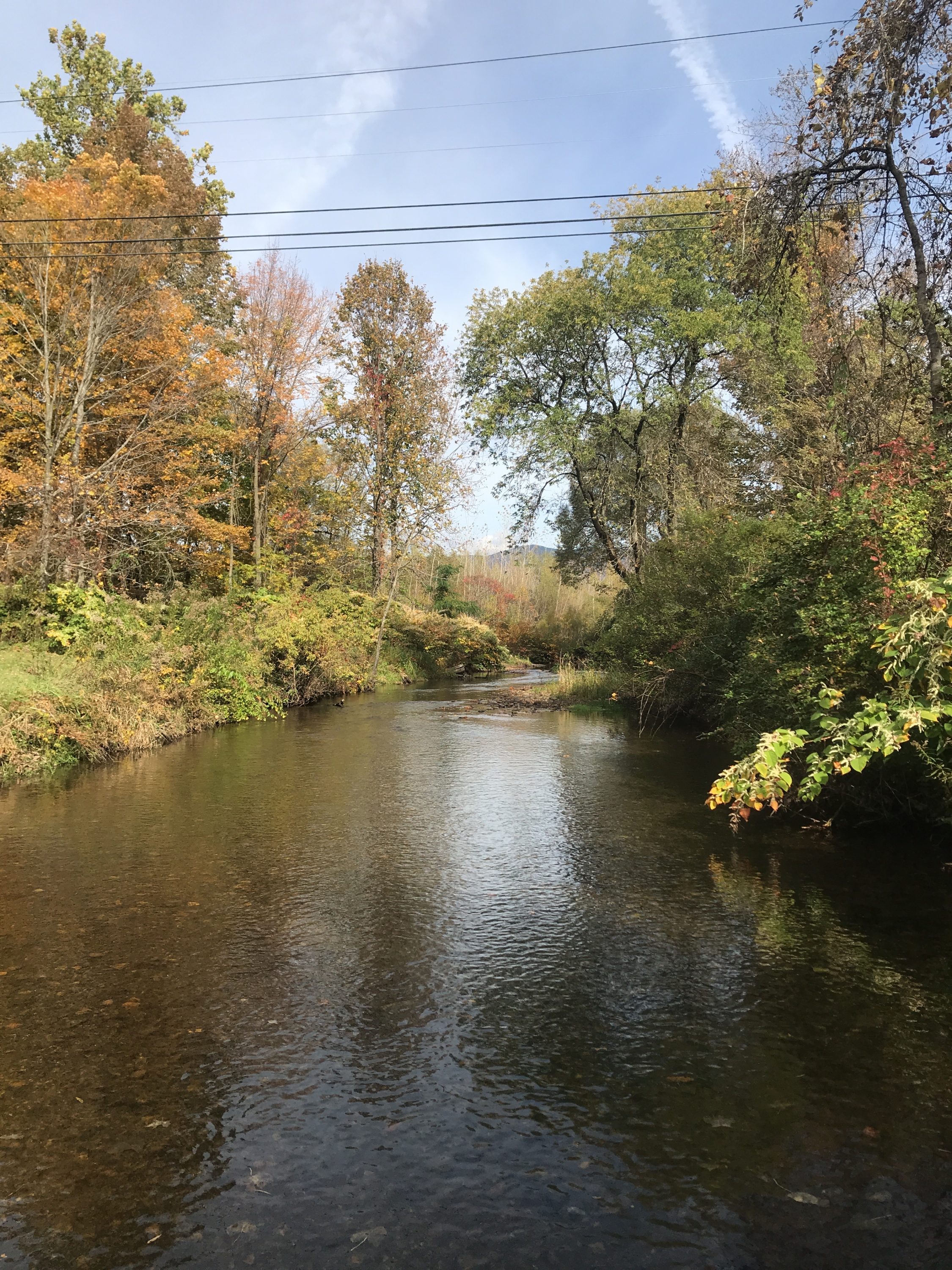
Neshobe River
- Public access: No
Nop River Corridor Easement
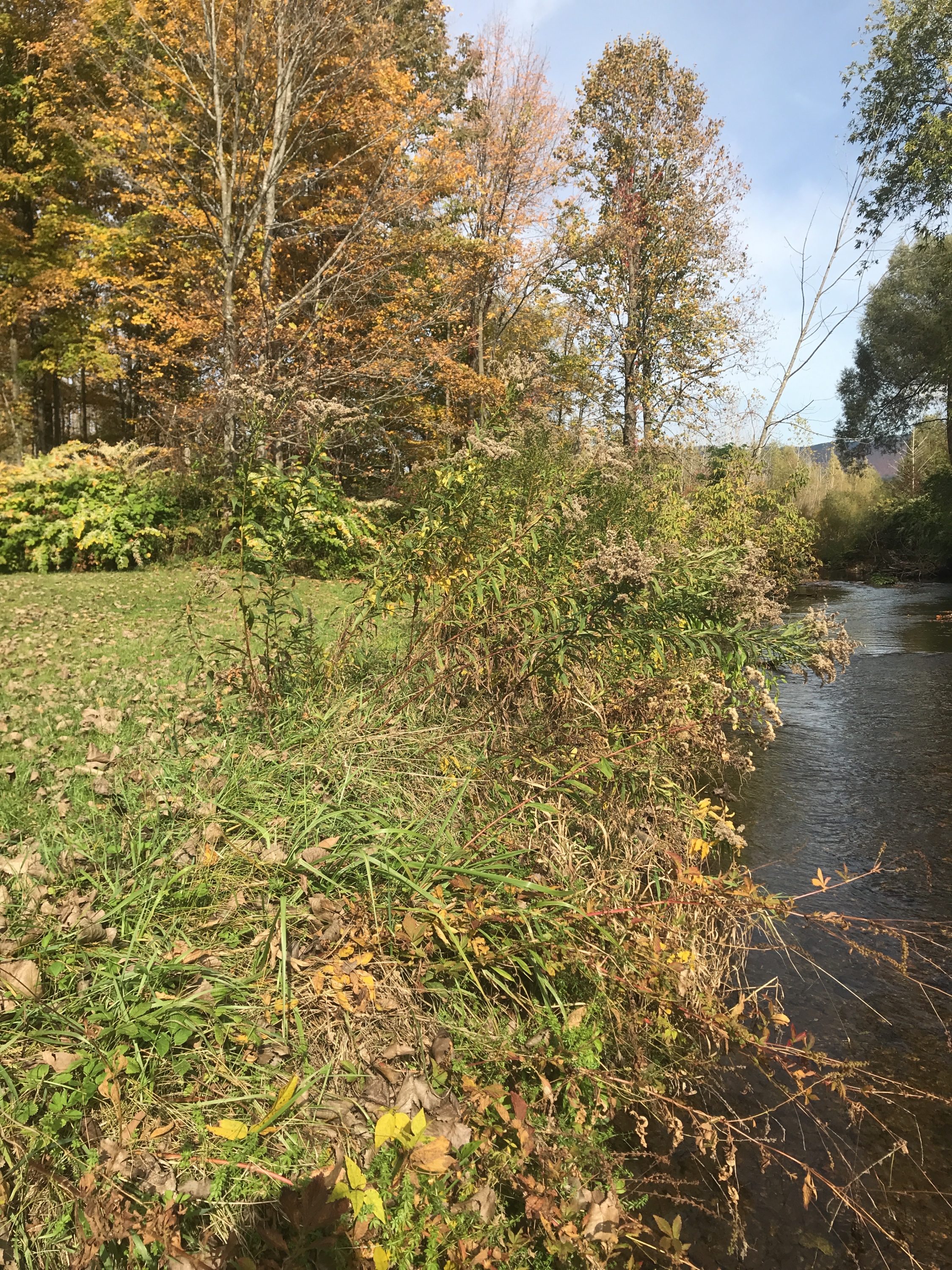
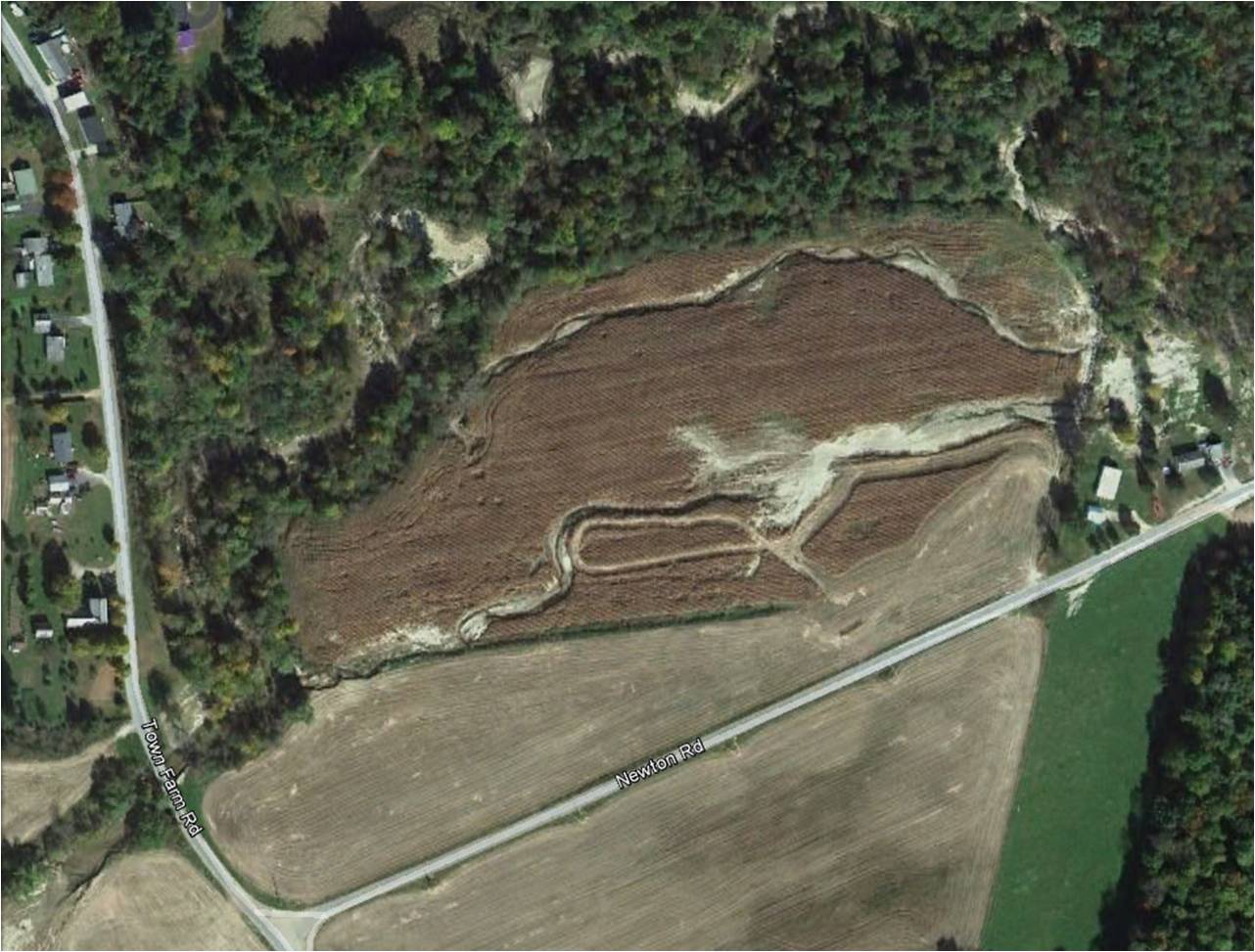
During Tropical Storm Irene, the Neshobe River rushed down from the Green Mountains, then sprawled across the Nop brothers’ farmland, carving chutes through their fields. The river left sand, rocks, and debris behind, making the Nop brothers feel like it would be almost impossible to keep farming. Instead of going to the cost and trouble of cleaning-up their fields, which would just inevitably flood again before long, the Nop brothers worked with Vermont River Conservancy to return the land to what it was long before it was farmland — a forested floodplain.
The forest is beginning to grow back along the riverbank, and the land is ready to welcome the next big floodwaters, just as it had generations before it was ever farmland. This site is right next door to the 6-acre Dilts River Corridor Easement, making for a total of more than 30-acres and nearly three-quarters of a mile of river protections.
Conservation Details
- River: Neshobe River
- Acreage: 26.40
- River frontage (ft): 3,300